Vernal equinox? Today? Yeah, right. If it’s really spring, why do I still see my breath on my morning runs in Flagstaff? Why is my car’s ice scraper still in heavy use? Why can’t I wear just one layer instead of bundling up in wool from beanie to socks?
Pardon the whine.
And, in fact, as any Flagstaffian can tell you, this has been a rather mild winter, as winters go. (Last winter, now that was an ordeal.)
Just last week, I felt confident enough to attempt to do one of my favorite long forest-road runs – Woody Mountain Road, from its Route 66 junction to beyond the Arboretum and towards Rogers Lake. It had been, after all, a month between snowstorms, and I had gone as far as FR 532 in previous days and not encountered any snow or ice.
But, alas, on that first rise of Woody beyond 532, the road became an ice rink once more. I made it as far as the Arboretum, but it was tough going, so I cut it short and turned around. And now that we’ve gotten more snow, it’s going to be that way a while longer.
All of which is a prelude to introducing a smooth, reasonably flat and, most important, snow- and ice-free forest road run in Sedona, which I ran the next day.
First, a disclaimer: There are scores of wonderful, beautiful, and challenging singletrack trails high in the hills of Sedona or deep in the canyons, leading to many Instagram-worthy destinations. But, for runners, most Sedona trails are highly technical and require navigating through slick rock, jagged slabs and eroded singletrack.
That’s quite fun, if you’re in the mood for a true trail run.

But, on this day, I wanted to run a faster effort on a softer surface (dirt forest roads), so the top option was FR 152C/525 way out in southwest Sedona.
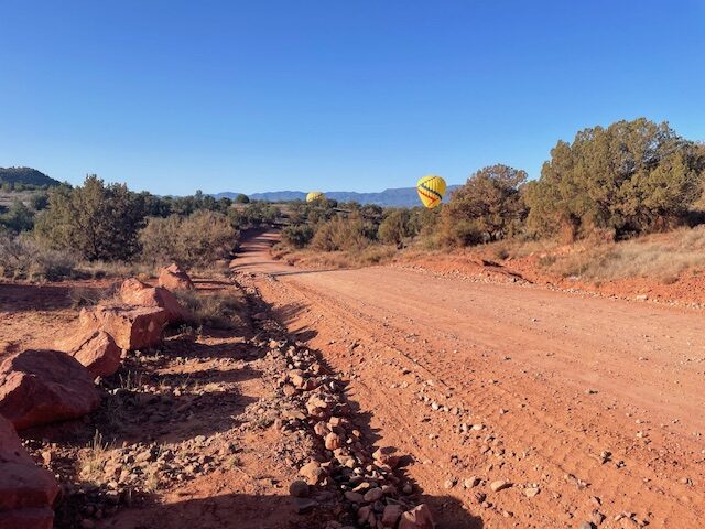
It met all my requirements. For the most part, the surface is rock-free and without too many eroded sections so that a runner could really stride out. Plus, it undulates enough to make you feel like you’re getting a slight taste of hill work. And, depending on when you visit (I highly recommend early in the morning), you may not encounter too many tourists.
The best place to park is at the last trailhead on the paved part of FR 152C, Doe Mountain/Bear Mountain. Sure, it costs $5 to park, but bathroom facilities are available and you feel more secure about your car than parking roadside.
Only the first half-mile is on the paved road. You go left (south/west) from the trailhead and, after a cattle guard, the smooth dirt commences.
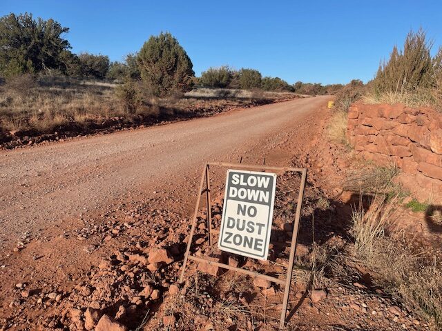
The first 2.5 miles is a pleasant jaunt with views of the craggy Secret Mountain Wilderness on your right. OK, so there is an offshoot for an OHV (Off Highway Vehicles, aka, 4x4s) trail on the left, but at 8:30 on a weekend morning, no one was yet stirring. You will pass a couple of ranch homes, including one owner who has installed a series of signs imploring drivers to slow speeds to keep dust down.
At about the 2.5 mile mark, a choice awaits the runner: it’s the junction where 152C ends and FR 525 begins.
Turn right, and you’ll head off toward the Palatki Heritage Site. That looked a little too uphill for my tastes. So, I turned left and took the flatter portion of 525.
You can run all the way to Interstate 17, about six miles, on that road. I decided to carry on for another three miles before returning. The road surface is a bit smoother, if a tad hilly, on this stretch.
My run came during spring break, so there were many people camping along the roadside designated turnoff areas, which included the intriguingly named Greasy Spoon Camping Area.
Again, I ran early enough that not many cars or RVs were on the road (maybe three or four) to blow dust in my face. However, the way was far from deserted. Three hot air balloons were just landing on the road shortly before my turnaround, and at least 20 tourists milled about as the balloon operators worked to pack up the dirigibles.
I got some strange looks from folks, believe you me.
In short order, I made it back to the trailhead, packed by this time with cars, and made it out of Sedona before traffic got too bad.
Sedona FR 152C/FR 525
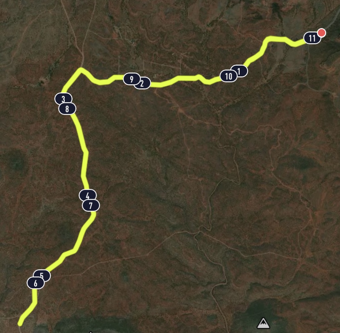
Distance: 11 miles (out and back; can be shorter or longer)
Driving Directions: Drive 27 miles south from Flagstaff to Sedona on US 89A. Continue through Sedona to Dry Creek Road at the west end of town. Turn north on Dry Creek Road (FR 152C) three miles to the Boynton Canyon intersection then left on FR 152C about a mile to the trailhead. Parking is $5. Credit cards accepted.
Route: From the Doe Mountain/Bear Mountain trailhead, run south/west on FR 152C for the final half mile of asphalt. Continue on the dirt road for another 2 miles. At the junction, turn left onto FR 525. Run as far as you like on 525. To return, retrace your steps.
Elevation Gain: 673 feet.


Leave a Reply